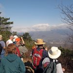
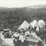
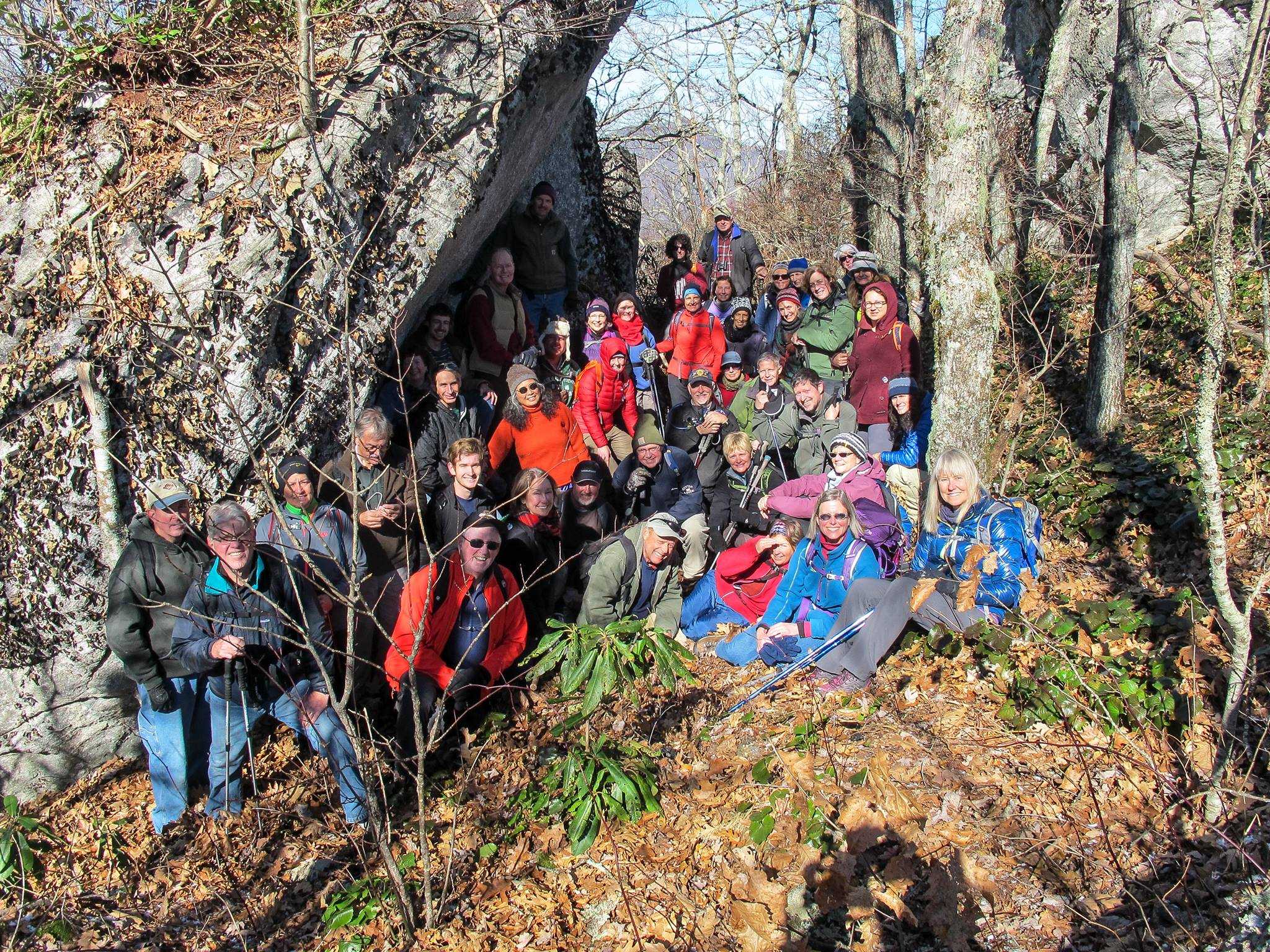
The Swannanoa Valley Museum’s exclusive SWANNANOA VALLEY RIM EXPLORER™ HIKING SERIES offers eleven hikes that generally take place the 3rd Saturday of the month. Each hike covers a portion of the approximately 31 miles of the Swannanoa Rim, which runs from Jesse’s High Top, across Lakey Gap, over Ridgecrest and Montreat, up to the Blue Ridge Parkway, and down to Cedar Cliff above Camp Rockmont. The hikes are led by experienced hike leaders who are also extremely knowledgeable about the history, topography, and ownership of the land.
Hiker Resources:
WINNER – Outstanding Achievement in Historic Preservation (Education Category), 2019
Preservation Society of Asheville and Buncombe County
Purchase the 2026 Rim Hike Series Here
2026 Schedule
Scroll down for full details on each hike.
| Hike | Date |
| Rim Hike #2: Rhododendron Rim | Saturday, January 17, 8:00am-1:30pm |
| Rim Hike #3: Cherokee Boundary | Saturday, February 21, 8:00am-2:30pm |
| Rim Hike #1: Weatherford Heights | Saturday, March 21, 8:00am-3:30pm |
| Rim Hike #4: Montreat East Ridge | Saturday, April 18, 8:00am-3:30pm |
| Rim Hike #5: Pinnacle of Blue Ridge | Saturday, May 16, 8:00am-5:00pm |
| Rim Hike #6: Grey Eagle Rock | Saturday, June 20, 8:00am-3:30pm |
| Rim Hike #7: Patton’s Table | Saturday, July 18, 8:00am-4:00pm |
| Rim Hike #8: Walker’s Knob | Saturday, August 15, 8:00am-2:30pm |
| Rim Hike #9: Buckner’s Knob | Saturday, September 19, 8:00am-2:30pm |
| Rim Hike #10: Top of Brushy/High Top Bee Tree | Saturday, October 17, 8:00am-2:30pm |
| Rim Hike #11: Garden of Eden | Saturday, November 15, 2025 8:00am-3:00pm |
ROUTE
Total Distance: ~56 miles
Rim Distance: ~31 miles
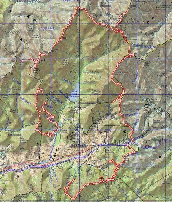
SEGMENTS
Rim Hike #1 – Weatherford Heights (CLICK HERE TO REGISTER)
The hike to Weatherford Heights explores the history and geography of Y.M.C.A. Blue Ridge Assembly. The hike follows the original boundary line of the conference center’s grounds, surveyed by educator, author, and religious leader Willis Duke Weatherford in 1906. Weatherford sought a permanent location for student training sessions he arranged. When he reached the present site of Blue Ridge Assembly, between two steep forested ridges of the Swannanoa Mountains two miles from Black Mountain, he exclaimed, “Eureka, we have found it!”
Difficulty: Strenuous, 6
Elevation Gain: 2,710 feet
Rim Hike #2 – Rhododendron Rim (CLICK HERE TO REGISTER)
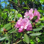
This 4.3 mile, moderate hike runs from Wendell Begley’s home on Sunset Mountain to Route 9. It passes through property once owned by Spanish architect Rafael Guastavino, best known for his innovative system of self-supporting arches and vaults using interlocking tiles in some of New York’s most famous Beaux-Arts landmarks, as well as Asheville’s Basilica of St. Lawrence. He retired in Black Mountain and built an eclectic estate called Rhododendron and known locally as the “Spanish Castle”.
Difficulty: Moderate, 4.3 miles
Elevation Gain: 1,120 feet
Rim Hike #3: Cherokee Boundary (CLICK HERE TO REGISTER)
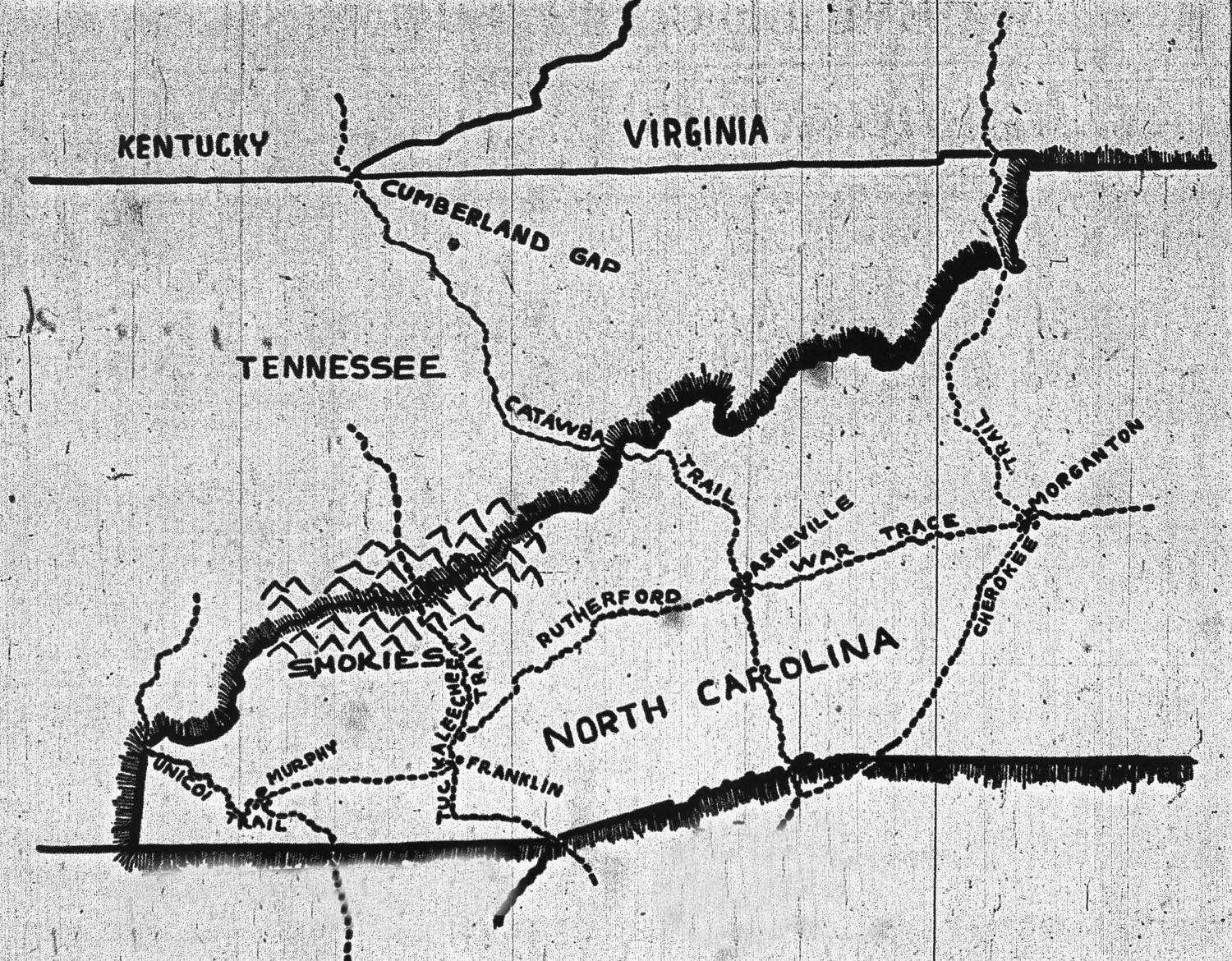
The Cherokee Boundary was the eastern most boundary of the Cherokee Nation. This difficult hike traverses part of the boundary between the Cherokee and American colonists, as well as the Eastern Continental Divide at the crest of the Blue Ridge Range south of Black Mountain, continuing to near the Swannanoa Gap. Following the boundary, the hike ascends to elevations between 2,600 and 3,600 feet. Almost all of the approximately 4.5-mile trip (many ups and downs) will be off trail and may require bushwhacking.
Difficulty: Difficult, 4.5 miles
Elevation Gain: 931 feet
Rim Hike #4: Montreat East Ridge (CLICK HERE TO REGISTER)
This difficult, 6-mile segment traverses the crest of the Blue Ridge (Continental Divide) along the eastern boundary of Montreat. Montreat was founded by Rev. John C. Collins in 1897 as a place “for physical and spiritual renewal,” and was named by combining the words “mountain” and “retreat.” The hike will include the peaks of Rocky Head, Brushy Mountain, and Boggs Bunion and will descend to the historic Swannanoa Gap at Ridgecrest. On the way we will see remnants of the old Mt. Mitchell Railroad and Scenic Auto Road.
Difficulty: Difficult, 5.8 miles
Elevation Gain: 1,971 feet
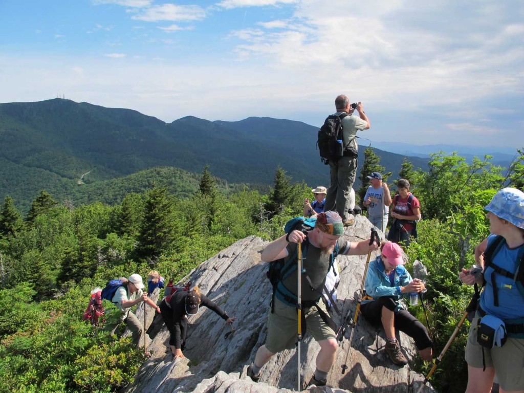
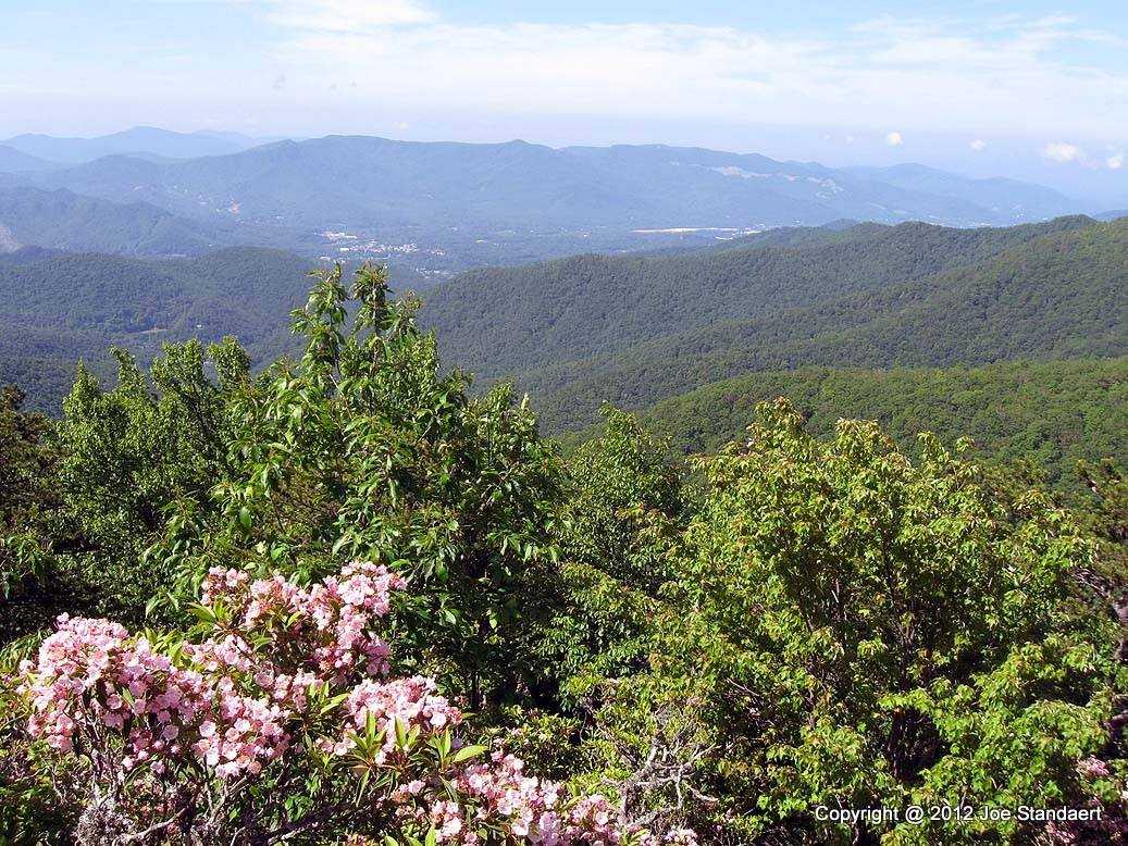
Rim Hike #5: Pinnacle of Blue Ridge (CLICK HERE TO REGISTER)
This will be a rewarding hike with some of the best views on the rim. However, it will be long and difficult. The hike will be a loop hike of 6 miles and includes two strenuous ascents, two steep descents, some rock scrambling on three rocky summits, and some moderate off-trail hiking. The return will be back to the Parkway via the Mt. Mitchell Toll Road. Hikers will carpool from Black Mountain to the Parkway. So, plan on an all-day hike and please bring raingear, sturdy shoes, plenty of water, a hearty lunch, and hiking sticks if you have them!
Difficulty: Strenuous, 6.5 miles
Elevation Gain: 2,660 feet
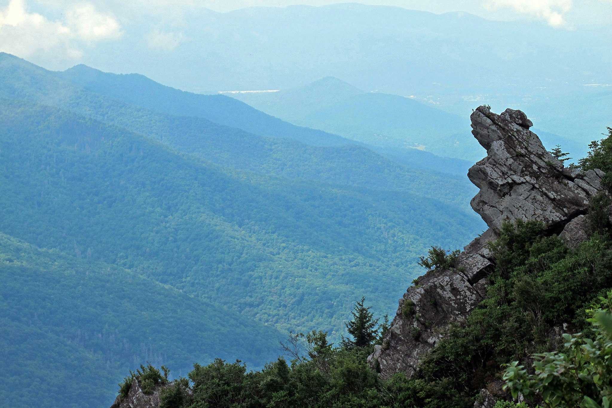
Rim Hike #6: Grey Eagle Rock (CLICK HERE TO REGISTER)
This strenuous 3.3 mile hike takes its name from the rock that resembles a
Cherokee chief known as Grey Eagle sitting and overlooking Black Mountain.
The hike begins at Black Mountain Gap off the Blue Ridge Parkway. During the trek,
hikers will cross the summit of Potato Knob (6,400’). Potato Knob is the highest point
in Buncombe County. To summit it, one has to endure a 1,200-foot elevation gain in
one mile. In addition to being the roughest section of the Rim it features the highest
elevation, most spectacular environment, and the most incredible vistas on the
Swannanoa Rim.
Difficulty: Strenuous, 3.3 miles
Rim Hike #7: Patton’s Table (CLICK HERE TO REGISTER)
This hike will start near Clingman’s Peak and then will follow the Old Mitchell Trail to Potato Knob and Patton’s Table. We will then follow the MTS Trail to top of Bearwallow Stand Ridge and descend to Balsam Gap at the Parkway. These mountains, the Blacks, are the highest mountains in the Eastern United States and take their name from the darkly colored Fraser fir and red spruce trees that adorn their slopes.
Difficulty: Moderate/Difficult, 5 miles
Elevation Gain: 2,024 feet
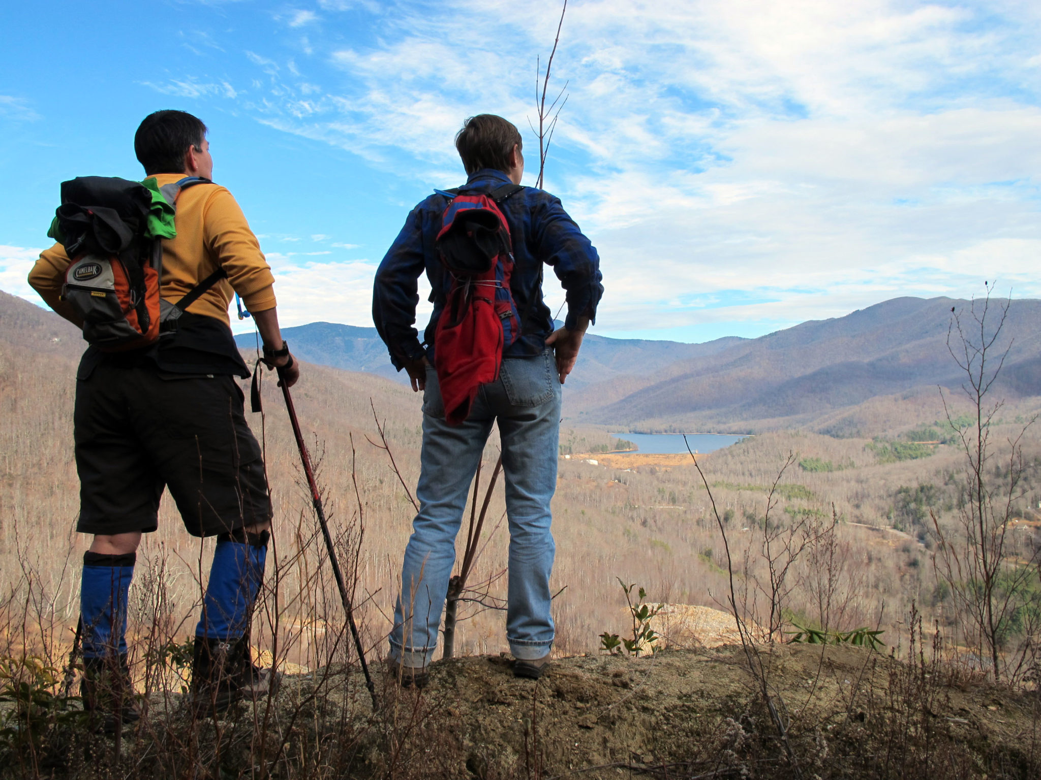
Rim Hike #8: Walker’s Knob (CLICK HERE TO REGISTER)
TThis peak (elevation 5,482 feet) was named after North Fork’s Walker
family, one of the early families to settle in the upper North Fork valley. The Walkers
owned much of the land and were engaged in timber and logging. Along this trail are
giant hemlocks, lichen and moss-covered rocks, stretches of beech forest, surround by
spectacular views. This 4-mile, moderate hike begins at Balsam Gap and extends to
Greybeard Overlook on Blue Ridge Parkway. On this hike there are several long-range
views over the North Fork Valley and the Asheville Watershed.
Difficulty: Moderate, 4.0 miles
Elevation Gain: 1,475 feet
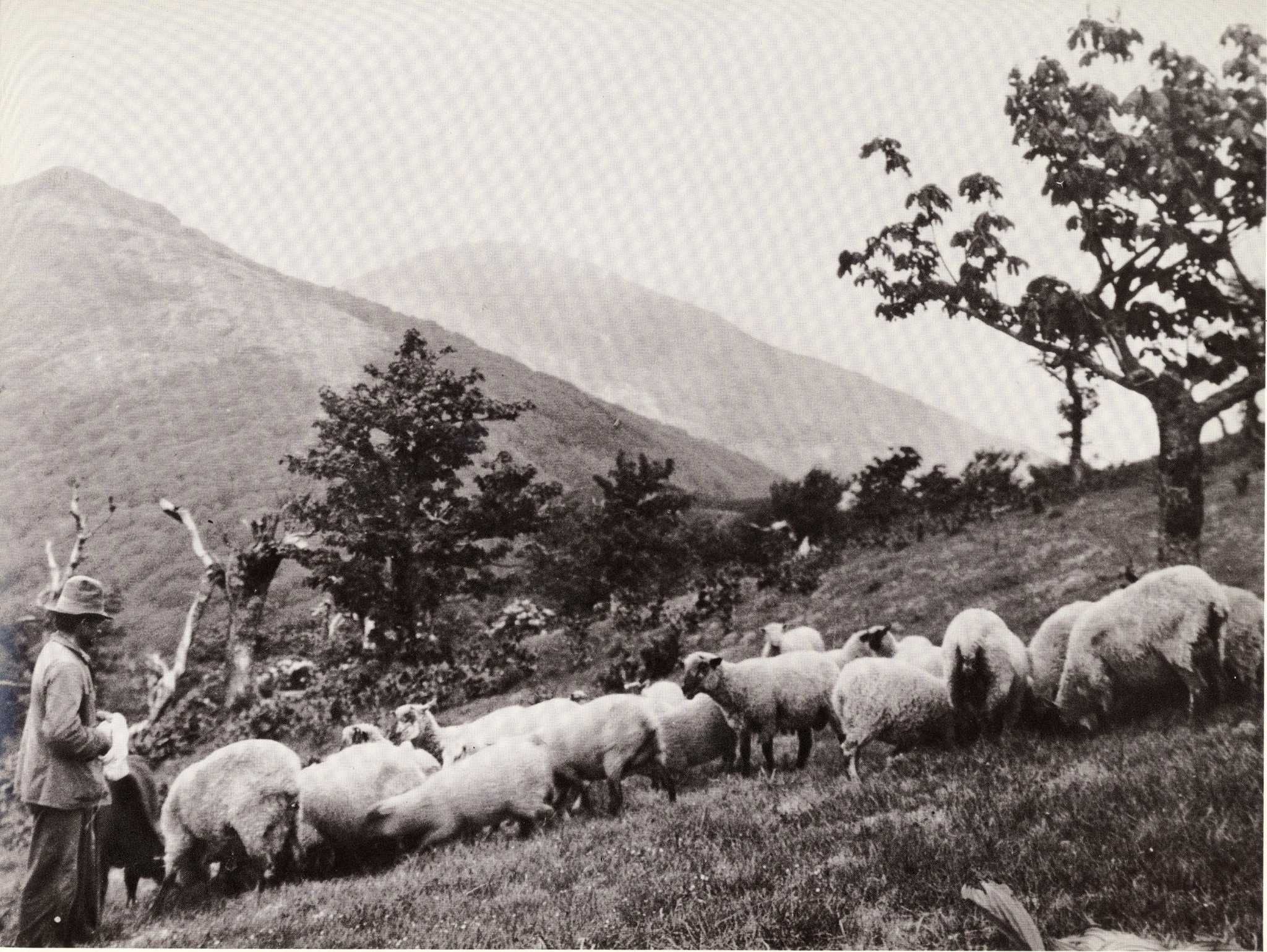
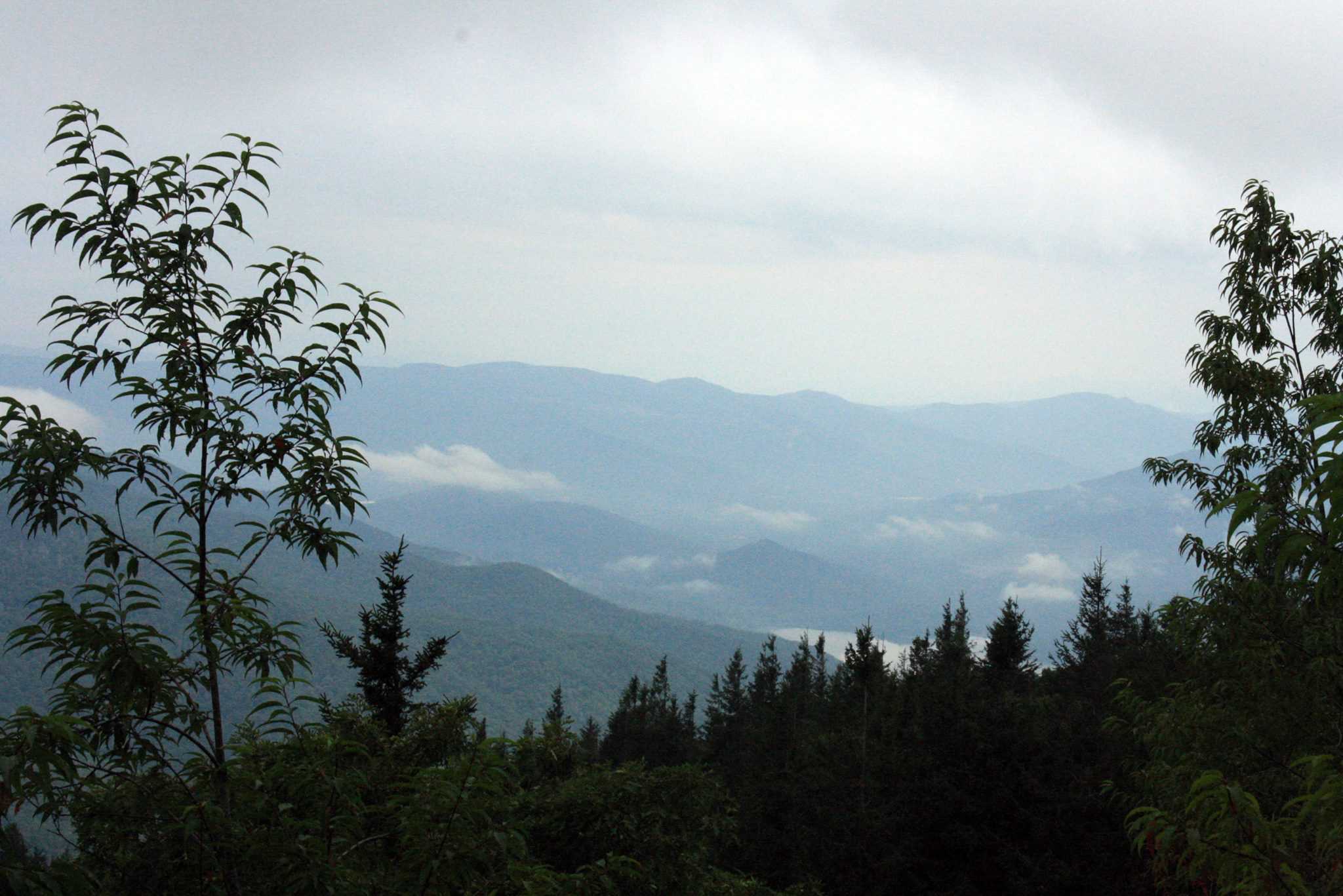
Rim Hike #9: Buckner’s Knob (CLICK HERE TO REGISTER)
Buckner’s Knob was the original name given to today’s Craggy Pinnacle, named after the Buckner family, one of the early families to settle on the Barnardsville side of the Craggies. The Flats of Craggy were the spot where the boys from North Fork side of the Craggies and those from the Barnardsville side would meet for baseball games and campouts. The flats were much more open then due to the grazing of cattle and sheep for many years. This 4.0-mile, moderate hike will begin with history and views from the top of Craggy Pinnacle and then a hike to Craggy Flats and back to the Craggy picnic area at Bearpen Gap.
Difficulty: Moderate, 3.3 miles
Elevation Gain: 794 feet
Rim Hike #10: Top of Brushy/High Top Bee Tree (CLICK HERE TO REGISTER)
In the 1800s and early 1900s the top of Brushy was an important meeting spot for hunters. It divides the large drainages of Bee Tree Creek (Right Fork), Laurel Branch, and Sugar Fork. The high top of Bee Tree is the highest point on the Swannanoa Rim. The Bee Trees run south from the Blue Ridge Parkway to Grovemont and Swannanoa, separating the North Fork drainage from the Bee Tree Creek drainage. The Museum’s hike provides a tour of these mountains from White Oak Flats, just south of Brushy Ridge, to the gap near Eden Rock, above the Granny and Laurel Branches.
Difficulty: Difficult, 4.6 miles
Elevation Gain: 1,909 feet
Rim Hike #11: Garden of Eden (CLICK HERE TO REGISTER)
Join the museum for the final hike of the Swannanoa Rim Hike Series to the Garden of Eden. This rocky mountaintop is located one mile northwest of Lake Eden on the Swannanoa Rim. In the summer months its rocky top was famous for its sunning serpents (rattlesnakes and copperheads) and it why this segment of the rim is hiked in the winter. This loop hike begins at Camp Rockmont.
Difficulty: Strenuous, 7 miles
Elevation Gain: 2,000+ feet